Mgahinga Gorilla National Park

Mgahinga Gorilla National Park is situated in South Western corner of Uganda, bordering Republic of Rwanda and Democratic republic of Congo, 10km south of Kisoro. The three parks together form the 434-sq. km. Virunga Conservation Area. It is 33 Sq Km with an altitude range of 2227m-4127m.
It covers the northern slopes of the three northern most Virunga Volcanoes: Mt. Muhavura(4,127m), Mt. Sabinyo (3,645m), and Mt.Gahinga (3,474m). Each of these countries protects its own portion of the Virungas, in the Parc National des Volcans and Parc National des Virunga respectively.
The entire Park is in Bufumbira County of Kisoro District. Kisoro is about 540 km (8-9 hours) from Kampala. When you reach the park you can get a great overview of the area by walking up the viewpoint, just 15 minutes from Ntebeko Gate.
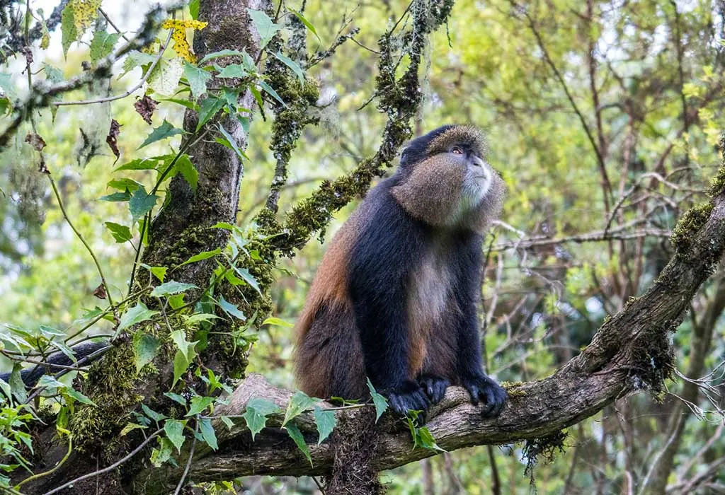
The Virungas are home to a large variety of wildlife, including about half the world‟s critically endangered. Mgahinga Gorilla National Park consists of the partly forested slopes of three extinct volcanoes Mountain gorillas.
Activities & Attractions in Mgahinga Gorilla National Park :
Gorilla Tracking
Experience gorilla tracking in Mgahinga Gorilla National Park, home to the Nyakagezi group. Led by dominant male Mark, the group roams across Uganda, DRC, and Rwanda. Tracking can be tiring, lasting a full day, with success dependent on guides’ expertise and luck.
Batwa Cultural Trail
Explore the Batwa Trail, where Batwa guides showcase their former forest home. Learn hunting techniques, identify medicinal plants, and witness traditional practices.
Volcanoe Climbing
Mt. Muhavura (4127m) is a cone-shaped volcano in Kisoro. Hiking takes about 8 hours round trip. At the top, see Virunga volcanoes, Lake Edward, Bwindi, and Rwenzori Mountain peaks. Tourists need camping gear.
Mt. Sabinyo (3,645m) has 3 peaks. Climbing is challenging with steep ridges and ladders. At the top, experience Uganda, Rwanda, and Congo. It takes 8 hours round trip.
Mt. Gahinga (3474m) is near Muhavura. The hike lasts 6 hours and passes through bamboo forests. Gahinga used to have a Crater Lake but now it’s a swamp.
